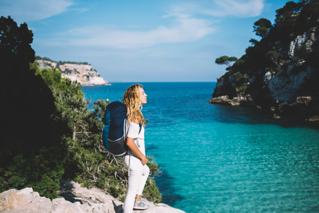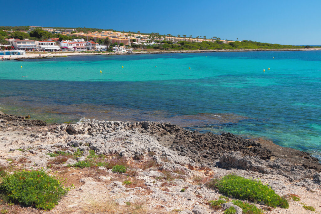
Menorca is the wildest and most natural of the Balearic islands. As such, it's an ideal hiking destination. We've put together a selection of Menorca's finest hikes, suitable for all levels.
1. The GR 223, Camí de Cavalls

- Distance: 186 km
- Difference in altitude: 4,000 m
- Duration: 6 to 12 days
- Itinerary
The Camí de Cavalls is quite simply Menorca's most beautiful and famous hike, but also its most difficult. In fact, this is the historic trail that circles the island. It's also known as the GR 223, because it's a long-distance trail, meaning you'll need several days to complete it. In the past, the Camí de Cavalls was used to keep an eye on the island's coastline, but today it gives hikers access to secret beaches and coves that can only be reached on foot. After all, walking is one of the best ways to get around Menorca!
2. From Cala Turqueta to Playa de Son Saura

- Distance: 10.5 km
- Difference in altitude: 109 m
- Time: 2 h 45 min
- Itinerary
As the Camí de Cavalls runs all the way around the island, almost all the hikes selected in this article are actually separate sections of the trail, which can be completed in just a few hours. This hike is no exception, and will allow you to walk partly in the shade of a pine forest and to access beautiful beaches and coastal views. This is an easy hike, with very little difference in altitude and easy access. Beware, however, that the path can get quite busy in high season, as it's one of the best things to do in Menorca.
3. The Camí de Cavalls section between San Tomás and Cala Galdana

- Distance: 8.7 km
- Difference in altitude: 210 m
- Duration: 2 hrs 30 mins
- Itinerary
This easy hike stretches from Santo Tomás to Cala Galdana, on the GR 223. Along this beautiful Menorca hike, you'll reach breathtaking, unspoilt coves and beaches. Be careful, though, as although the route is accessible to all, it is nonetheless rocky and sometimes cliffside, so good hiking boots are a must. And don't forget to bring a swimsuit, for a few dips along the way.
4. The Camí de Cavalls section between Cala Galdana and Son Xoriguer

- Distance: 15.6 km
- Difference in altitude: 188 m
- Time: 4 h
- Itinerary
This is a rather difficult hike, as it is quite long and requires stamina. As such, however, it has no overly technical sections, and little elevation gain, so it remains accessible to beginners, at the price of a little effort. What's more, the trail is mostly in the shade, making it an ideal summer destination. It will give you access to superb beaches hidden between the cliffs of the coastline, making Menorca one of the most beautiful islands in Europe.
5. Es Grau y Maó

- Distance: 23.8
- Difference in altitude: 485 m
- Time: 6 h 30
- Itinerary
This trail is one of Menorca's most beautiful hikes, but is nevertheless particularly demanding. It is long and therefore requires stamina, as well as a certain difference in altitude. It is therefore reserved for the most experienced hikers, unless you'd like to try it by bike. This is a loop starting from the town of Es Grau. You can also choose to do this hike in several stages, staying in gîtes or spending the night in a tent.
6. The Camí de Cavalls section between Punta Prima and Biniancolla

- Distance: 4.3 km
- Difference in altitude: 24 m
- Duration: 1 h
- Itinerary
Here's a beautiful Menorcan hike ideal for families, so easy that you can even do it if you're on vacation with your baby! In fact, it's rather short, with no change in altitude, and follows a fairly smooth path. Its only drawback, if there is one, is that it's rather sunny, so we recommend that you equip yourself with hats and sunscreen. Along the way, you'll come across some of Spain's finest views and lovely sandy beaches, where it's possible to swim. Note, however, that this is an out-and-back trail, so you'll take the same path on the way back, walking 2 km on the outward journey and 2 km on the return.
7. Loop from Sant Lluís

- Distance: 11.9 km
- Difference in altitude: 160 m
- Walkingtime: 4 h
- Itinerary
This loop route starts inland from Sant Lluís and runs to the sea and back. It's an easy hike, with no technical difficulties, as it takes place on smooth, often tarmac paths. This is one of Menorca's most beautiful hikes, as it explores the wildest landscapes of the island's south-east, away from the city and giving access to a more confidential side of Menorca. In the countryside, you'll come across many animals, including donkeys, horses, turtles, bulls and birds. So don't forget your binoculars, swimsuit and sun cream!
8. The section between Cala Morell and Cala Fontanelles on Camí de Cavalls

- Distance: 11.3 km
- Difference in altitude: 240 m
- Time: 4 hrs
- Itinerary
This time we head for the north coast for one of Menorca's most beautiful hikes. This is a medium-difficulty walk, as it includes a slight gradient, but above all fairly rocky, wooded and earthy paths that require good hiking boots. Finally, you'll reach a superb sandy beach, not to be missed in the Balearic Islands, where you can take a dip before setting off again. This little refreshment won't go amiss, as most of the route is in the sun! For this reason, we advise you to start early in the morning, before the heat becomes too oppressive.
9. From Cala Carabó to Platja des Bot

- Distance: 20.9 km
- Ascent: 539 m
- Time: 5 hrs 30 mins
- Itinerary
Ten kilometers on the outward journey, 10 kilometers on the return. That's how far you'll have to walk to get to these wild beaches, accessible only by a few small ochre dirt paths. The path is partly shaded, but some sections are uncovered, so a hat, sunscreen and water are recommended. But you can make the most of the Mediterranean paradise that is the Balearic Islands with one of Menorca's most beautiful hikes.
10. Cala del Pilar

- Distance: 4.6 km
- Difference in altitude: 141 m
- Time: 1 h 15 min
- Itinerary
Unlike the previous hike, this one is rather short. It does, however, include a certain amount of ascent, making it an average-level hike. You'll stroll along nature trails in the north-west of the island, before reaching Cala del Pilar, a pretty, unspoilt beach not accessible by car. The trail is not particularly difficult, being neither technical nor rocky.
11. From the port of Addaia to Cala den Caldés

- Distance: 15.4 km
- Difference in altitude: 265 m
- Duration: 4 hrs
- Itinerary
This is a medium-level hike, as it is relatively long and includes a little elevation gain, but no steep sections. It allows you to explore the landscapes of the northeast of the island. Once again, you'll have access to a beach, so don't forget your swimsuit and sun cream, as the route is almost completely clear. Try to start early enough in the summer, so as not to suffer too much from the heat and make the most of these superb Mediterranean landscapes.


