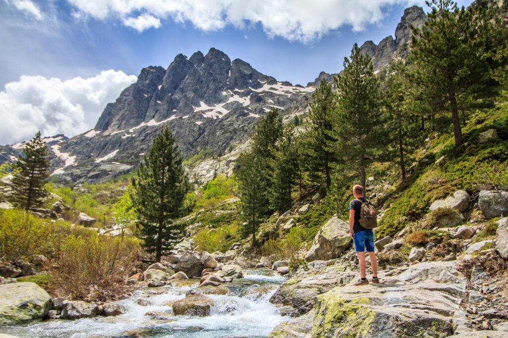
Corsica's most beautiful hikes are also among France's most legendary. Corsica's rocky, rugged Mediterranean landscapes may conjure up images, but the fact remains that there are hikes on the island of beauty to suit all abilities, from a Sunday stroll with the family to the most challenging long-distance hike in France. Corsica is one of the best destinations for hiking, so don't wait any longer to discover our top list of the most beautiful hikes to do in Corsica!
1. The GR® 20, Corsica's most beautiful hike
- Distance: 172.5 km
- Difference in altitude: 12,051 m
- Duration : 12 to 16 days
- Itinerary
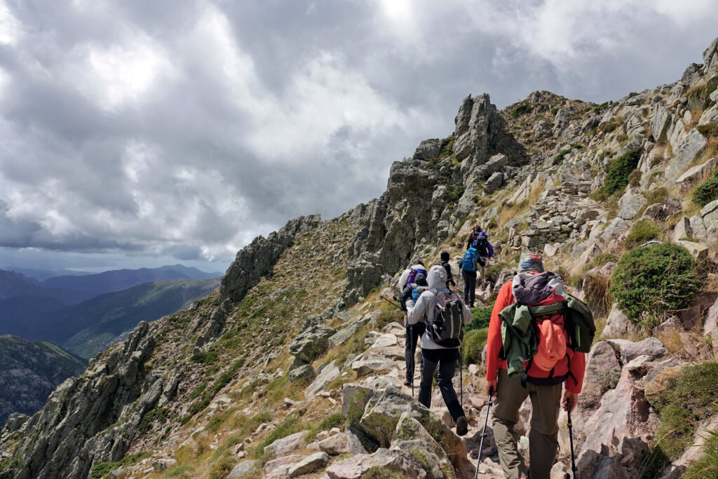
The GR® 20 is one of France's most legendary hikes, and has more than earned its place as Corsica's most beautiful. This is all the more true given that trail 20, which crosses Corsica from north to south along its mountain ridges, is reputed to be the most difficult GR® in France! Don't overlook the physical and mental preparation required for such a hike. There are several refuges along the way, offering board and lodging.
2. Les aiguilles de Bavella
- Distance: 11 km
- Ascent: 769 m
- Walkingtime: 6 h
- Itinerary
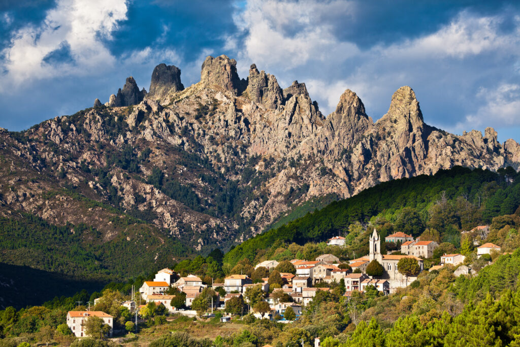
The Aiguilles de Bavella offer one of the most beautiful landscapes in Corse-du-Sud : jagged, skyward peaks covered in lush Mediterranean vegetation. The needles dominate the Col de Bavella, at an altitude of 1,217 m. So this is a hike that has to be earned, typical of a mountain destination. Although it doesn't include overly technical sections, it does require good hiking boots. In fact, part of the trail follows the route of the GR® 20!
3. Monte Gozzi
- Distance: 6.8 km
- Difference in altitude: 419 m
- Time: 3 hrs
- Itinerary
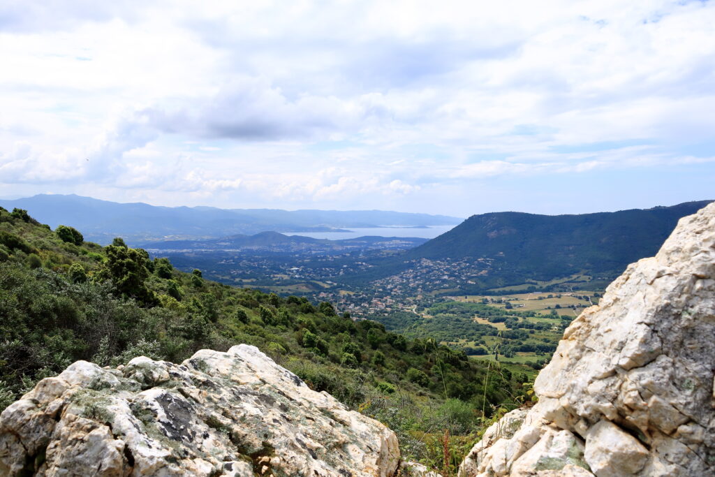
Head for theAjaccio region this time, for this beautiful and much more accessible Corsican hike! Mont Gozzi, famous for its red stone, is visible from Ajaccio. This medium-level round-trip hike starts from the Chapelle Saint-Cyr in the Corsican village of Appietto. The start is rather strenuous, but the gradient is gentler afterwards, and this hike is accessible even to beginners. With very little shade, this hike is best enjoyed on cooler days, or in the morning in summer, to avoid the heat of this sunny destination.
4. Lac de Nino, a beautiful hike in Corsica
- Distance: 8.5 km
- Difference in altitude: 713 m
- Duration: 4 h 30
- Itinerary
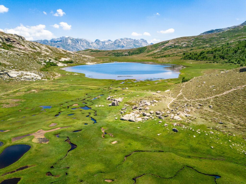
This is one of the most beautiful hikes you can do in Corsica, and should be on your list of must-do Cors ican activities! It starts at the Maison Forestière de Popaghja. This medium-level hike takes in spectacular scenery, including the Colga valley and, at the end of the trail, Lac de Nino. Covering 6.5 hectares, this is the second largest lake in Corsica. This mountain lake lies at an altitude of 1,743 m, and offers spectacular views of the surrounding peaks. For this hike, you'll need good hiking boots and even walking sticks, as some sections are quite perilous, slippery and steep, without making it a dangerous hike either.
5. Monte Cinto
- Distance: 11.7 km
- Ascent: 1,318 m
- Time: 6 hrs 30 mins
- Itinerary
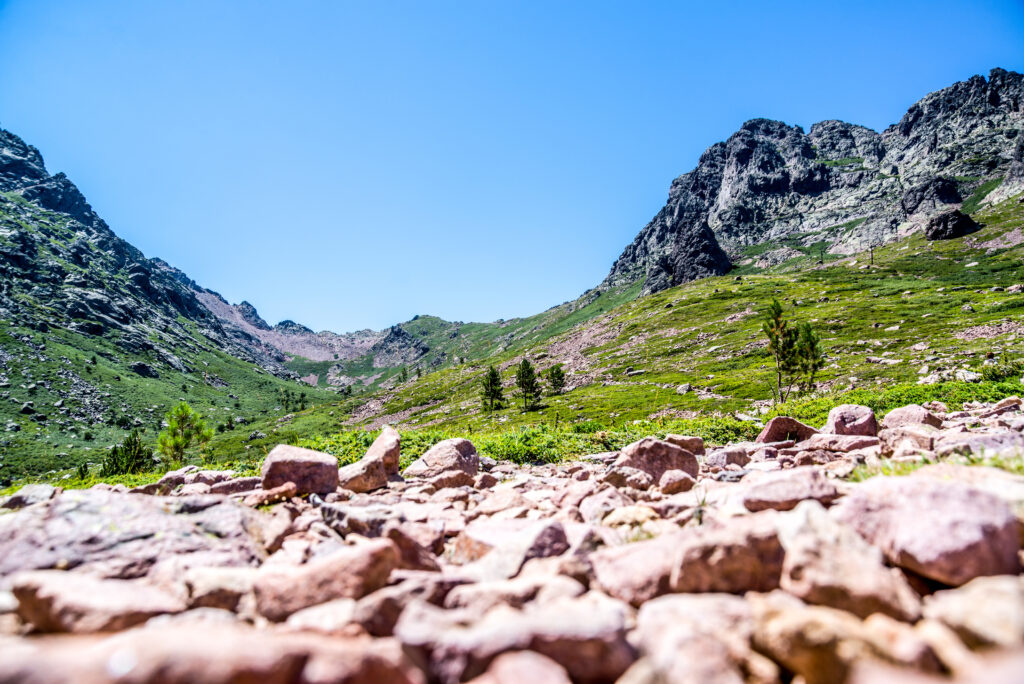
At an altitude of 2,706 m, Monte Cinto is Corsica's highest peak and one of its most beautiful hikes! To conquer it, you'll need a good level of walking ability, as this beautiful Corsican hike is of a difficult level. Of all the trails to climb Monte Cinto, this one, via the western slope, is the most popular. It partly follows the route of the GR® 20 to reach the mountain ridge, then splits off from it to reach the summit. The ascent is particularly demanding, as is the descent along this rocky flank, and requires a great deal of caution. For this reason, it is essential to undertake this hike well equipped.
6. Purcaraccia waterfalls
- Distance: 4.2 km
- Elevation gain: 312 m
- Time: 2 hrs
- Itinerary
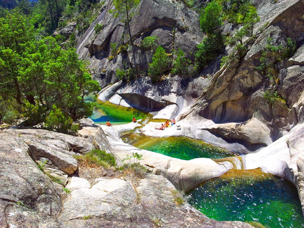
Close again to the Aiguilles de Bavella, this hike is much more accessible. It's of average level and climbs a little, but inexperienced walkers can still tackle it, making it a perfect family hike. On arrival, before turning back, you can admire the magnificent Purcaraccia waterfalls, with their many basins forming natural turquoise-blue pools in which to swim. So, in addition to your walking shoes, don't forget your swimsuit!
7. The Trou de la Bombe from the Col de Bavella
- Distance: 6.3 km
- Difference in altitude: 186 m
- Time: 2 hrs
- Itinerary
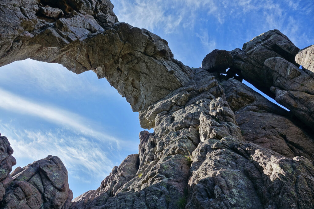
An easy hike, as it's fairly short and not very steep, it's ideal for a green family outing. In the heart of Corsica's Regional Nature Park, not far from the famous Col de Bavella, where you'll start this loop, it leads to the trou de la bombe, a gaping hole 8 m wide, forming a window in the rock. The trail is partly under trees, so you'll be relatively cool on fine days. However, we advise you to set off early, as this is a particularly popular route due to its ease of use.
8. The Capo Rosso trail
- Distance: 9.3 km
- Difference in altitude: 564 m
- Time: 3 hrs
- Itinerary
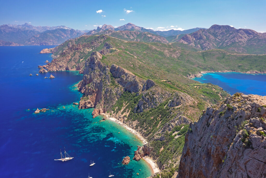
If your trip or road-trip in France takes you to the Piana area, don't miss this hike. It leads to Capo Rosso, the westernmost point of the island. Its name comes from the pink color of the granite that forms it. This cape, accessible only on foot, is surmounted by the Genoese tower of Turghiu, which forms the last point of this walk, before turning back. This is a medium-level hike, with two steep climbs. But the advantage is that it offers magnificent panoramic views over the Gulf of Porto. For an even better view, it's also possible to climb the Genoese tower, although it has not been renovated, and therefore calls for the utmost caution.
9. Melo and Capitello lakes
- Distance: 6.4 km
- Difference in altitude: 545 m
- Time: 3 hrs
- Itinerary
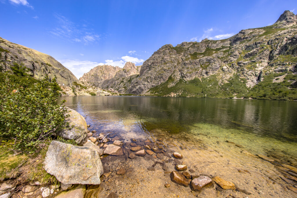
Corsica is one of France's most beautiful nature destinations, and this hike will prove it! It leads to the Melo and Capitello lakes, two mountain lakes situated at 1,700 and 1,930 m respectively. It's a great springtime destination, as you may be lucky enough to see both lakes still frozen! In addition to the spectacular scenery, the trail offers superb panoramic views beyond a certain point. The hike starts at the Grotelle sheepfold, popular for its local sheep's cheese, but also for its more substantial dishes. The medium-level trail, which follows the Restonica riverbed, does include some steep climbs, but remains accessible even to families, although it does include two passages equipped with chains and ladders. If you wish, you can stop at Lake Melo, and avoid the more strenuous climb to Lake Capitello. However, if you can, and if you're equipped with the requisite hiking boots, we advise you to push on, as this second lake is even more beautiful than the first!
10. The Agriates coast
- Distance: 37 km
- Difference in altitude: 291 m
- Duration : 10 h
- Itinerary
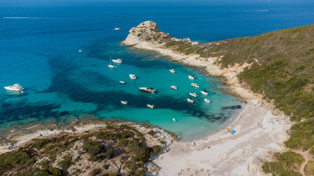
This beautiful hike in Corsica, located near Bastia, is ideal for those who like long walks, but are much less fond of ascents and descents! The 10-hour drive covers less than 300 m of ascent. However, if you prefer a more leisurely pace, you can sleep halfway along the route, in the Ghignu refuge. This can be all the more practical if you plan to intersperse this walk with a few swims on beautiful Corsican beaches, since almost the entire trail runs alongside the sea. You'll pass through particularly unspoilt Mediterranean landscapes, skirting the Agriates Desert, a hilly region that was once very agricultural.
11. Lake Creno
- Distance: 6.4 km
- Difference in altitude: 366 m
- Time: 2 hrs 30 mins
- Itinerary
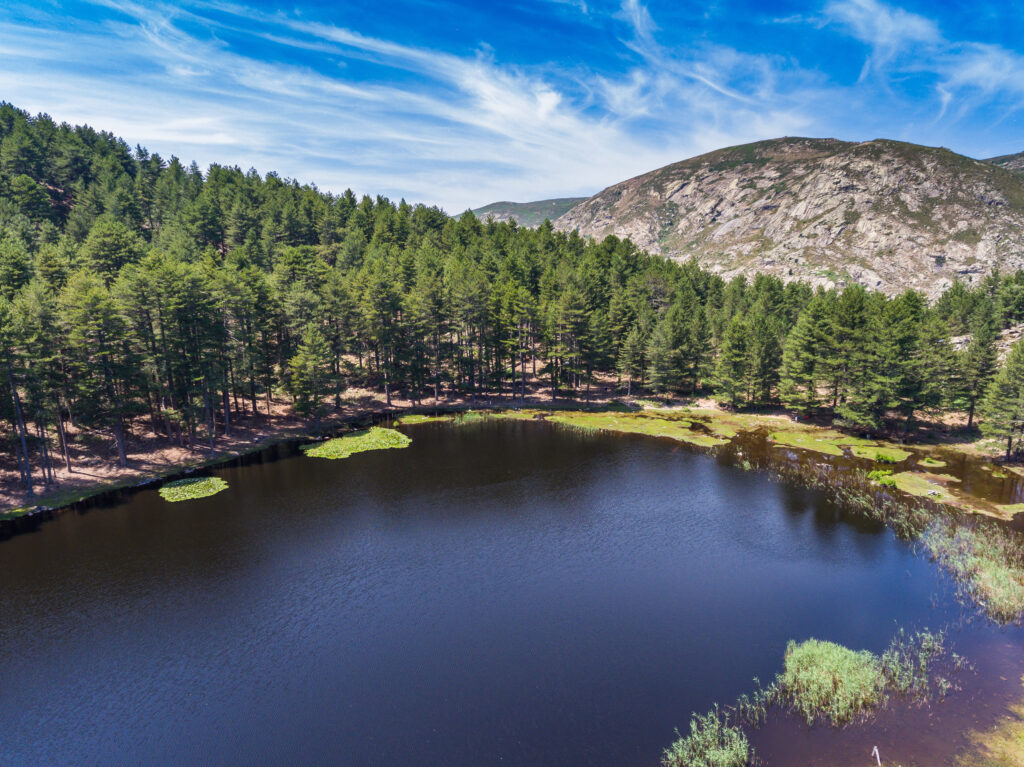
In the heart of Corsica's Regional Nature Park, this easy hike leads to Lac de Creno, at 1,310 m altitude. This is the lowest of all Corsica's glacial lakes. Because of its relatively low altitude, it is home to a particularly rich flora and fauna. The vegetation includes the protected carnivorous round-leaved drosera, a forest of laricio pines, water lilies lining the surface of the lake, and pozzines, peat bogs with deep pools, typical of Corsican landscapes. It's a fairly busy hike, but you'll still enjoy the beauty of the landscape. Lac de Creno is also an ideal spot for a picnic.
12. Punta di a Vaca Morta
- Distance: 3.7 km
- Elevation gain: 289 m
- Time: 1 h 45 min
- Itinerary
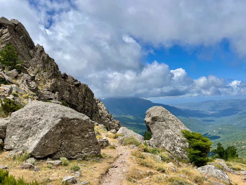
Literally "the point of the dead cow" in Corsican, Punta di a Vaca Morta is a summit at 1,316 m altitude in southern Corsica. This beautiful Corsican hike starts at the hamlet of Cartalavone, where the ascent is steep but relatively short. The summit of this hike offers an unobstructed view of Porto-Vecchio.
13. Pointe de la Revellata
- Distance: 9.2 km
- Difference in altitude: 321 m
- Time : 3 h
- Itinerary
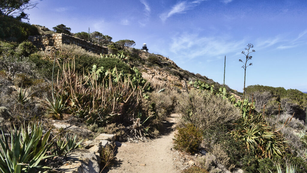
This loop is almost 10 km long, with very little change in altitude, making it an easy hike. It takes you around the pointe de la Revellata, a peninsula near Calvi. You'll walk to the Revellata lighthouse, before turning back along another trail.


