LES POZZINE DE POZZOLO
Hiking
2025
Recommended
•
2025
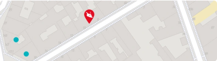
The starting point for this hike is the Scalella pass, at an altitude of 1,193 metres. From the pass, head east for about 1 hour 30 minutes, then take the path up to the pozzine (peat bogs). Allow around 2 hours 30 minutes to reach this area. For the more adventurous, it's possible to extend the hike to Lac de Bracca, the source of the U Prunelli river, culminating at 1,777 meters above sea level. However, this variant is more difficult and requires good orientation.
Did you know? This review was written by our professional authors.
Advertising
Organize your trip with our partners Bastelica
Transportation
Book your plane tickets
Car Rental
Accommodation & stays
Find a hotel
All-inclusive travel
Holiday rental
Find your campsite
Tailor-made trip
Eco-responsible holidays
Services / On site
Activities & visits
Book your parking lot
Activate your VPN
Request your visa
Travel insurance
Book the Best Activities with Get Your Guide
Members' reviews on LES POZZINE DE POZZOLO
Value for money
Service
The ratings and reviews below reflect the subjective opinions of members and not the opinion of The Little Witty.
Be the first to post a review on this establishment!
Advertising
Find unique Stay Offers with our Partners

The best at Bastelica and around

Advertising
Advertising