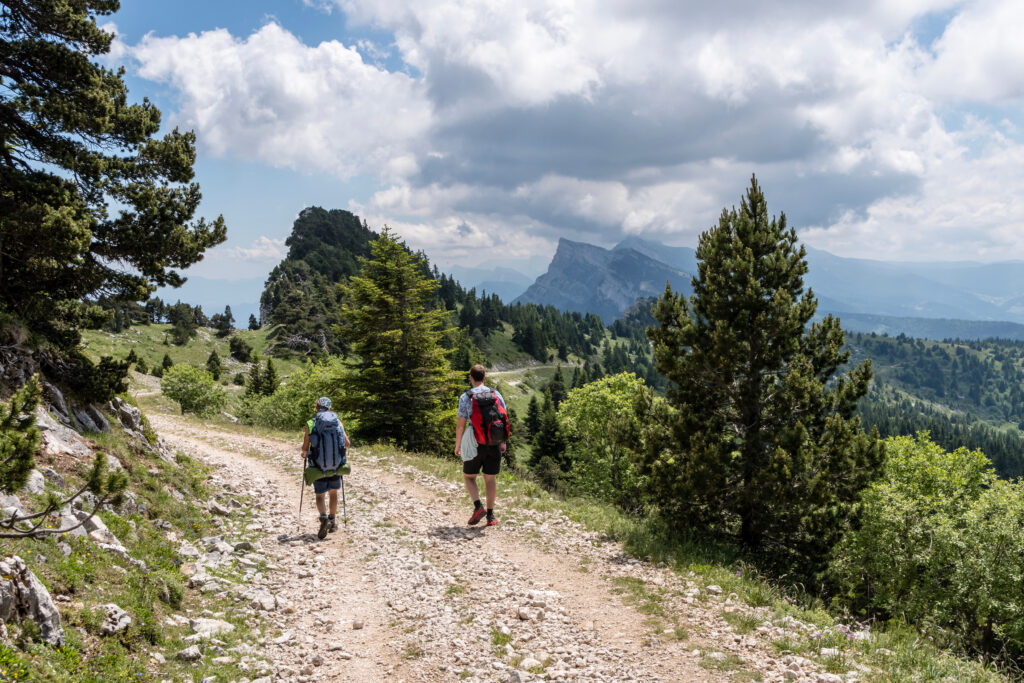
The Vercors massif, shared by Isère and Drôme, is a fantastic playground for hikers and other nature lovers. That's why we've selected the best hikes to do in the Vercors, for all levels of difficulty.
1. The Grand Veymont
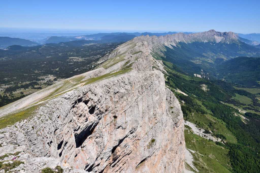
- Distance: 25.9 km
- Ascent: 1,620 m
- Time: 8 hrs
- Itinerary
Please note: this hike in the Vercors is for experienced hikers only. Indeed, to conquer the massif's highest peak, the Grand Veymont, culminating at 2,341 m, you'll need to be patient and put your calves to the test. From up there, you'll have a spectacular view of Mont Aiguille and its iconic silhouette. As this is a long hike, you'll also have the option of bivouacking on site to divide it into two days. Who knows, you might wake up to marmots, chamois or even vultures!
2. Moulin Marquis waterfall
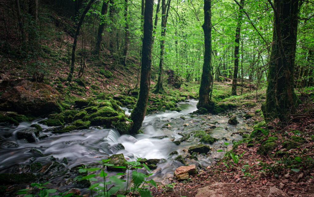
- Distance: 4.8 km
- Difference in altitude: 232 m
- Duration: 1 h
- Itinerary
In the heart of the Vercors Regional Nature Park, you'll set off from Saint-Julien-en-Vercors to walk towards the Moulin Marquis waterfall, one of the most impressive in the massif. Here, the water falls 400 m! The waterfall rises above the Bourne Gorge, offering a panoramic view along the way. Although this is a medium-level hike, accessible to all with a little effort, there are a few sections that are a little high and not suitable for those prone to vertigo. In this unspoilt natural area, don't hesitate to enjoy regenerative tourism.
3. The GR®91, crossing the Vercors high plateaux
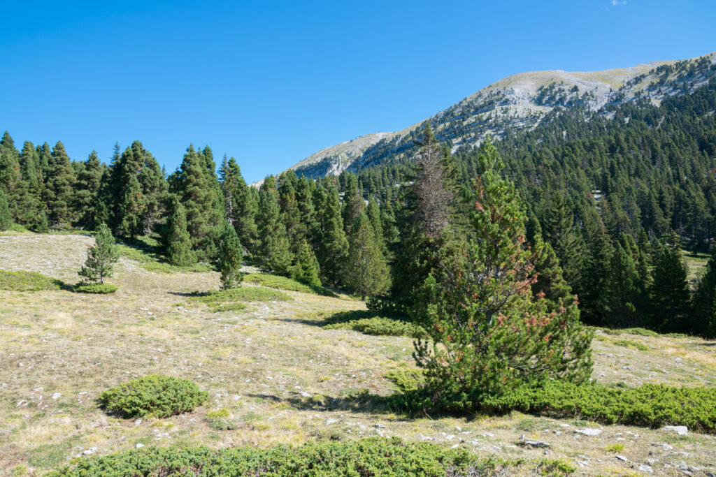
- Distance: 262 km
- Difference in altitude: 11,082 m
- Duration: 12 to 20 days
- Itinerary
The GR®91, or Traversée des Hauts Plateaux du Vercors, is one of France's most beautiful long-distance hiking trails. It's a trail that can take up to twenty days to complete, depending on your pace. As its name suggests, it crosses the Vercors massif from north to south, more precisely between Saint-Nizier-du-Moucherotte, just outside Grenoble, and Brantes. Along the way, you'll pass through some of the Vercors' most emblematic landscapes, starting with the summit of Moucherotte. You can spend the night in one of the many gîtes along the way.
4. Furon gorges
- Distance: 3 km
- Difference in altitude: 341 m
- Walkingtime: 1 h
- Itinerary
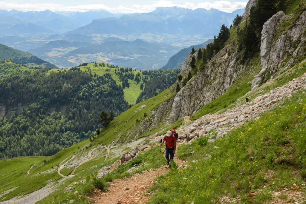
The Furon gorges are a landscape shaped by a torrent cutting its way through sheer cliffs. This is one of the most beautiful hikes to be made in the Vercors, suitable for those looking for a fairly short walk. It is, however, a medium-level hike, with a certain difference in altitude. Don't forget to bring a picnic: there are plenty of tables available. However, the Furon gorges are part of the Vercors Regional Nature Park, a protected natural area which you are invited to respect by adopting simple gestures. So don't forget to take along something to collect the waste from your snack.
5. The Col de la Berche circuit
- Distance: 8.7 km
- Difference in altitude: 314 m
- Time: 2 hrs 30 mins
- Itinerary
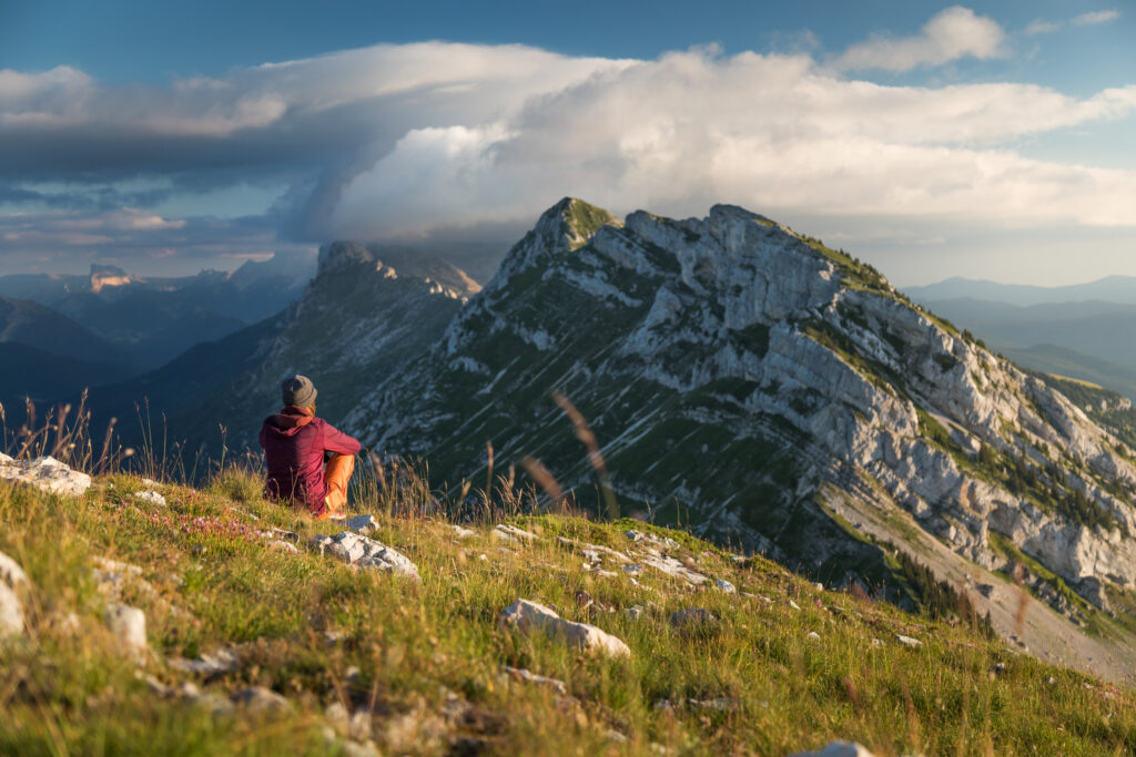
This hike forms a loop that takes in some superb natural scenery. You'll be walking through the heart of the Hauts Plateaux du Vercors nature reserve, the largest in mainland France. Created in 1985, it covers an area of over 17,000 preserved hectares. Don't worry though, this hike is of a much more reasonable size and medium level, as it climbs a little.
6. Pic Saint-Michel
- Distance: 8.5 km
- Difference in altitude: 660 m
- Time: 3 hrs 30 mins
- Itinerary
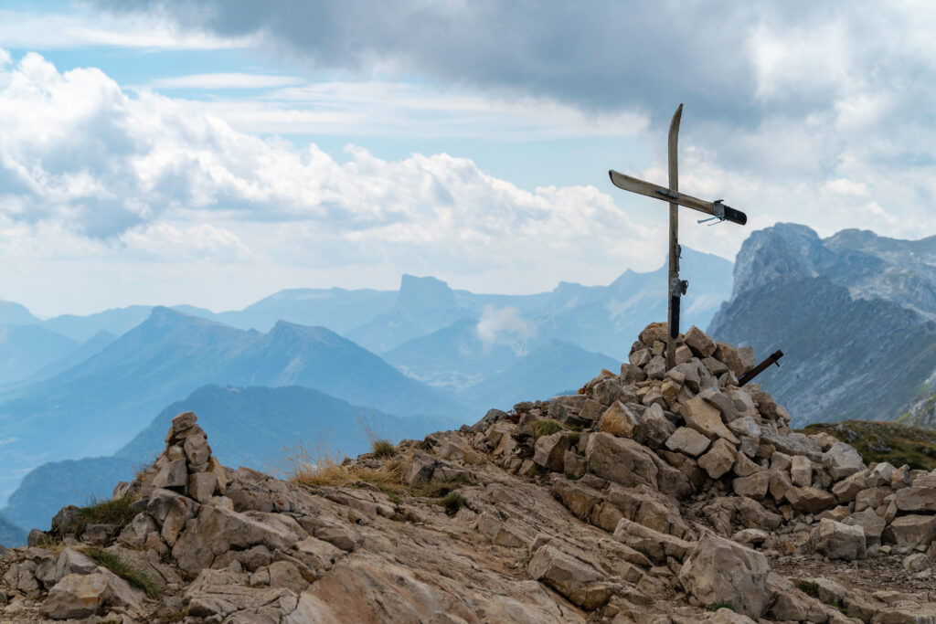
This is a short but steep walk, so it's considered difficult, especially as it includes some fairly technical sections. You'll need good shoes and, if necessary, poles. This hike in the Vercors sets out to conquer the 1,966 m-high Pic Saint-Michel. But your efforts will be rewarded, for at the summit you'll have a breathtaking view of the massif! Note that this is a fairly popular trail, so you'll be far from a crowded destination.
7. Lac de la Moucherolle
- Distance: 6 km
- Difference in altitude: 393 m
- Duration : 2 h
- Itinerary
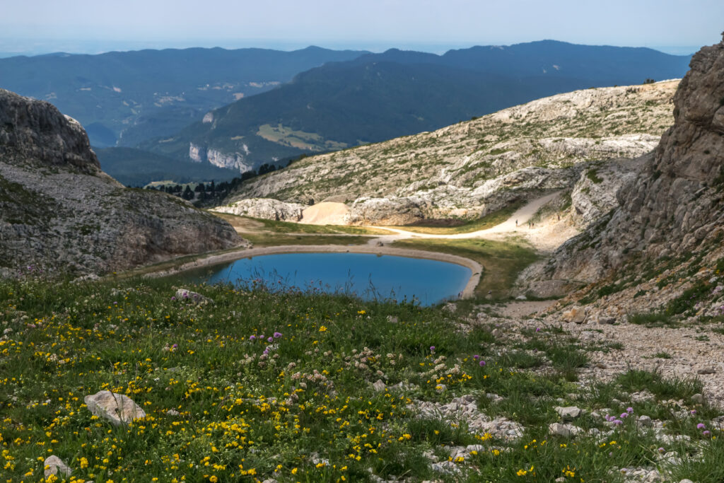
Don't be fooled by the apparently short distance of this hike, as it is in fact a difficult one. In fact, it climbs a lot and can be a little technical, especially at the end of the route, which is made up of stones. However, the entire trail is very well signposted. But Lac de Moucherolle is well worth the effort. Perched at an altitude of 1,953 m, it is dominated by high peaks, and often populated by ibex and marmots. Please note that for ecological reasons, swimming in the lake is strictly forbidden.
8. The Cascade Blanche
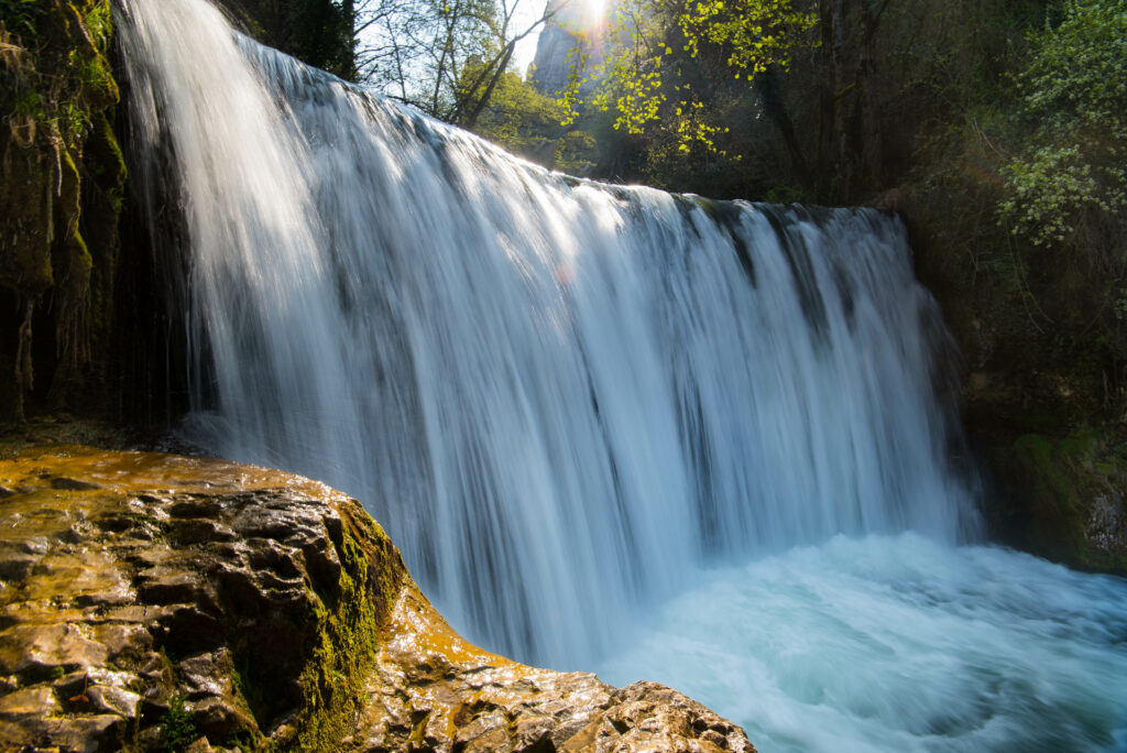
- Distance: 4.3 km
- Height difference: 130 m
- Time: 1 h 15 min
- Itinerary
This is a superb hike for the whole family in the Vercors! It's easy because it's short, doesn't climb much and lets you discover the magnificent Cascade Blanche. Stemming from the Vernaison river, this pretty waterfall will keep you cool in summer. But be warned, swimming is forbidden here too. A picnic by the pool, on the other hand, is highly recommended to make the most of this ideal hiking destination, the Vercors Regional Nature Park.
9. The GRP® tour of the four mountains
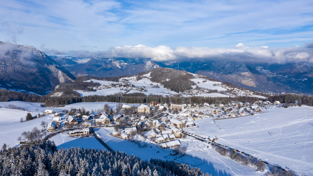
- Distance: 91.4 km
- Difference in altitude: 5,226 m
- Duration: 3 to 8 days
- Itinerary
This is a GR® de Pays, meaning you'll need several days to complete this long and demanding route. It's up to you to adapt your stages to your own pace, or why not choose to complete just one or two stages. The GRP® du tour des quatre montagnes starts in Saint-Nizier-du-Moucherotte, which you can reach by hitchhiking. The route then loops around the mountains on the outskirts of Grenoble, in Isère.
10. The Gobert trail
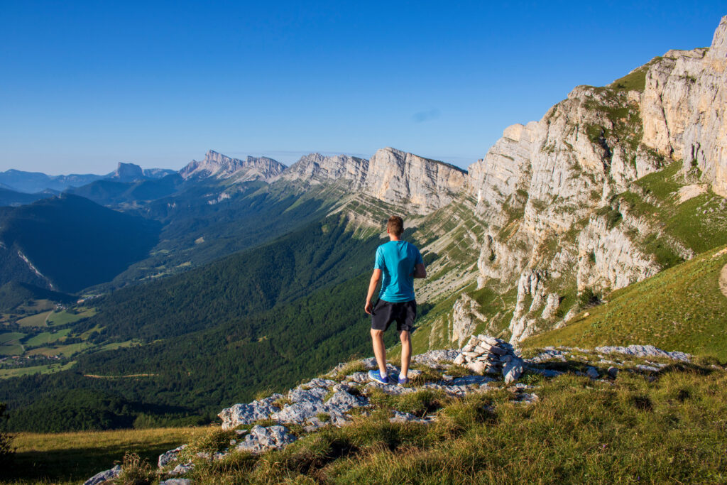
- Distance: 6.9 km
- Difference in altitude: 430 m
- Time: 2 hrs 30 mins
- Itinerary
This route follows the Gobert trail, one of the most famous hikes in the Vercors. So it's not a trail without crowds. Indeed, this mountainside hike offers panoramic views that attract crowds, particularly in spring and summer, when the alpine flowers are in full bloom. Be careful not to take this hike too early in the spring, or the high altitude snows will surely still be present. Although this is a medium-level hike, it includes some fairly vertiginous passages, so it is not recommended for families.
11. The Moucherotte
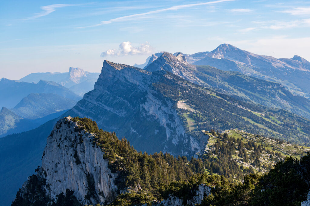
- Distance: 10.6 km
- Difference in altitude: 500 m
- Time: 3 hrs
- Itinerary
Le Moucherotte is one of the most famous peaks in the Vercors. It rises to an altitude of 1,901 m, so you'll have to do a bit of climbing to reach its summit on this medium-level hike. But on arrival, you'll have an exceptional view of the whole region and, on a clear day, even the Alps! Unfortunately, you won't be able to reach the starting point by public transport, but several parking lots are available.
For other mountain hikes, take a look at our articles on the most beautiful hikes in the Pyrenees, the most beautiful hikes in the Alps and the most beautiful hikes in the Auvergne.
So, are you tempted? Take a look at our train fares and book now !


