Crossing the Andean highlands
Highlights of the trip
During your stay you can enjoy the following highlights: Culture / Heritage, Faune and flora, Discovery, Adventure / Sports & Leisure.
Best times to go
The best time(s) to go is/are : Printemps, Eté, Automne, Hiver.
Petit Futé
Where to stay in : Coroico ?
The map of your stay "Crossing the Andean highlands"
Detail of the stay : Crossing the Andean highlands
How to get there - Coroico
The highest capital city in the world
Steps: La Paz
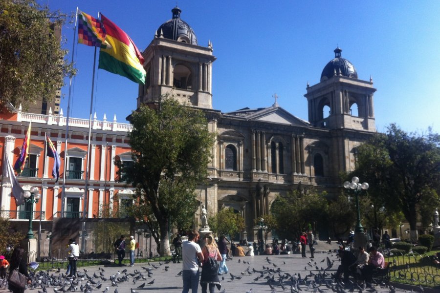
At an altitude of 3,600 metres, La Paz is the highest capital in the world. You may be suffering from altitude sickness when you arrive.... If so, take a day off to wait for it to pass. If the effect is really too strong, go down to Coroico for a day or two. This village, with its tropical climate, is located at (only) 1,525 metres above sea level and about 60 kilometres northeast of La Paz. The road to get there runs along the famous "road of death": vertiginous landscapes!
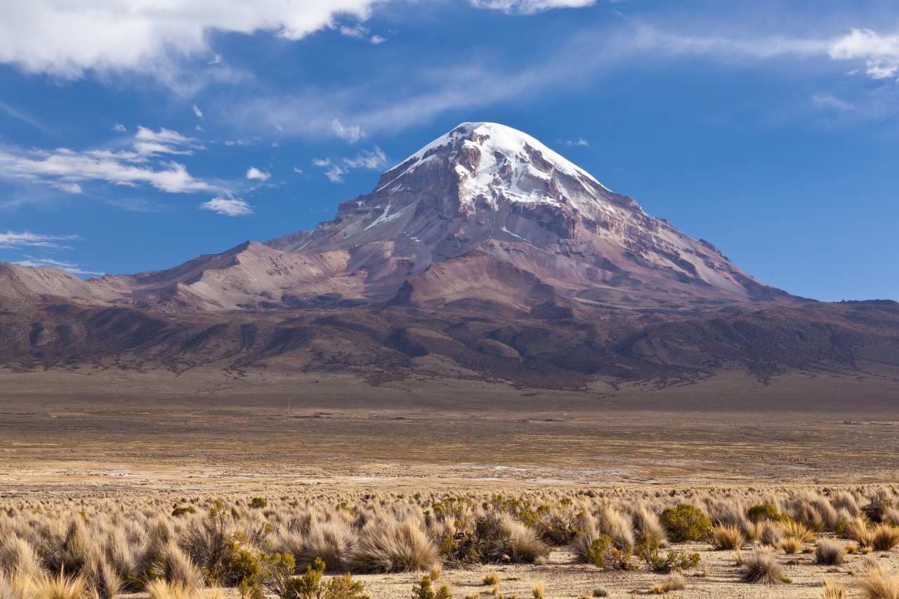
Heading for Samaja volcano
Steps: Curahuara De Carangas
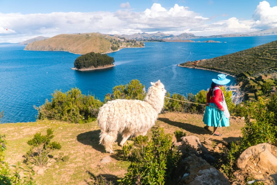
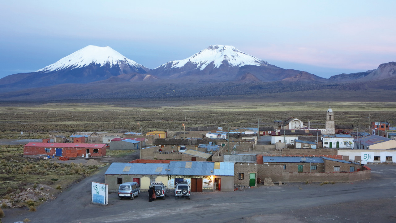
The adventure begins with a beautiful day of travel through the Bolivian highlands. Located in the heart of the Andes mountain range, this altiplano is the highest inhabited region in the world (after the Tibetan plateau). The landscape is quite desert: large steppes with here and there some herds of alpacas (llamas looking like sheep!). The paved roads in this region of southwest Bolivia stop at the foot of the Nevado Sajama volcano (in the National Park of the same name). This is precisely your destination of the day! On the way: visit some villages, their chullpas (Aymara funeral towers), and colonial churches (especially in the village of Curahuara de Carangas). For accommodation, there are very few hotels in the region, contact the national community tourism association TUSOCO.
Places of interest : IGLESIA VIRGEN DE LA NATIVIDAD NEVADO SAJAMA
Hiking between geysers and lagoons
Steps: Parque Nacional Sajama
A beautiful hike awaits you: a little more than 6 hours of walking (if it seems too much to you, it is possible to do this hike over two days). You will need to rent a 4x4 to start the day and drive to the geysers area. From there, the march begins. You go up the stream for 2 hours and 30 minutes to the Khasiri lagoon, which is at an altitude of 4,850 metres. After 1 hour's walk you arrive at the Sorapata lagoon, where you can have a picnic before starting the descent back down. Return to Samaja village.
Places of interest : GÉISERES DE JUNTHUMA
Crossing the Chilean-Chilean border
After a little hike in the morning, you take the 4 x 4 to go to the Boliviano-Chilean border and enter the Chilean National Park Lauca. The programme today: Chungara Lake, Parinacota volcano, pink flamingos, village of Parinacota, lagoons of Cota Cotani... before finally arriving in the village of Putre where you spend the night.
Crossing of the Vigognes reserve
You head south through the superb Las Vicuñas national reserve (named after the cousins of the llamas, the vicunas). You can see the Guallatiri volcano, which rises to an altitude of 6,063 metres. It is still very active, as its fumaroles testify. You will then reach the Salar de Surire. This salt desert takes its name from the ostriches that inhabit it. Three different species of pink flamingos can also be observed. You always continue further south to the village of Colchane or Cariquima where you can spend the night.
Volcanoes of salt deserts
Cross the border, outline the Cariquima volcano, pass the Col Pass to reach the Salar de Huasco, then the Coposa with views of the Iruputuncu volcano. Then you reach the village of Pica, a charming oasis amidst the desert steppes.
Mysterious geoglyphs
Go down today to the village of Pintados and its intriguing and monumental geoglyphs adorning the hillsides: nearly 350 figures represent mysterious shapes. You then pass on a section of the famous Pan-American, this mythical road crossing the continent linking Alaska to Patagonia. Join Calama, then San Pedro d'Atacama.
San Pedro de Atacama, Chile's last stopover
Steps: Valle De La Luna
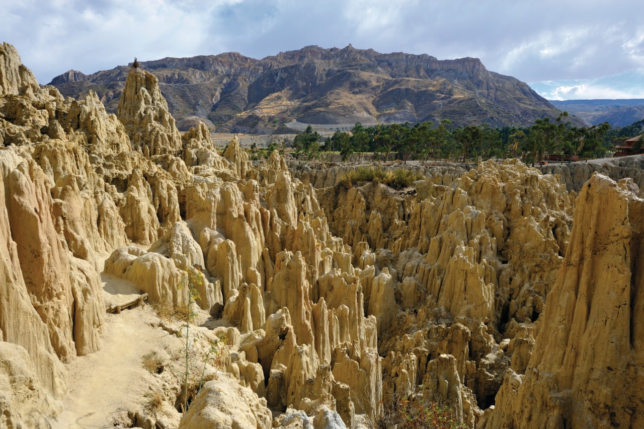
Last day in Chile before moving back to Bolivia. Visit the pretty little town of San Pedro de Atacama and its surroundings, including the Salt Mountain Range and the Moon Valley.
Entry into the Lipez region
Steps: Laguna Verde
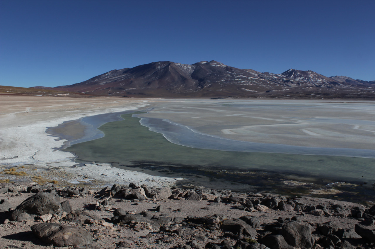
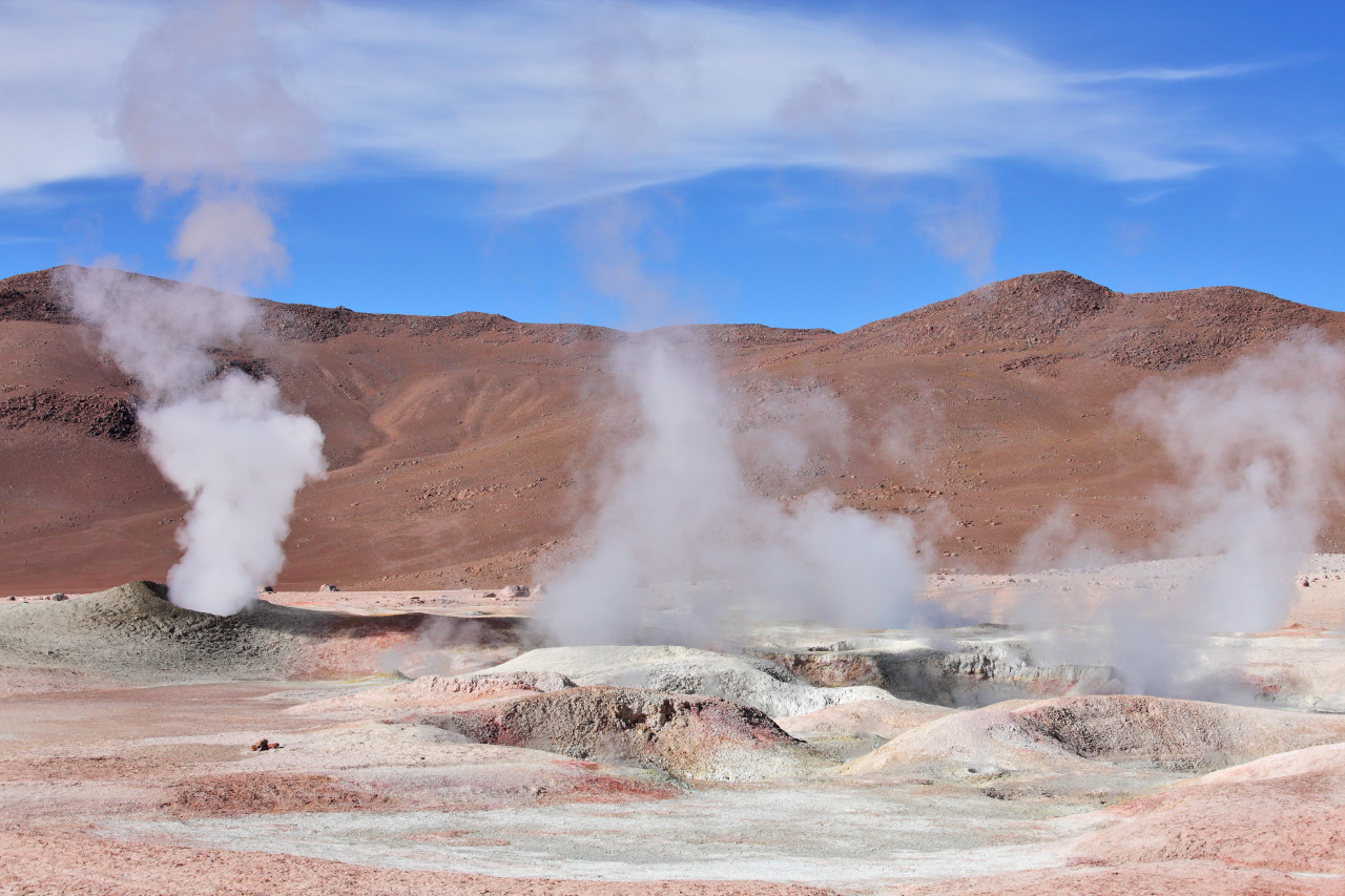
Leave San Pedro d'Atacama to join Bolivia via the Frontière Cajon border crossing. Go through the magnificent Laguna and Laguna Verde, at the foot of the Juriques and Licancabur volcanoes. Stay long enough to observe the famous green lagoon with sumptuous green reflections (when the wind rises). Then cross the Dali desert, along the Laguna Salada, take a relaxing break at the Thermes thermal baths. Cap to Quetena.
On the old mining tracks
Steps: Sud-Lípez
Still on board a 4x4, exploration continues on former mining tracks. Head west to reach the Colorada lagoon, then the Siloli desert and its strange shaped rocks. You will then reach the entrance to the Eduardo Avaroa National Wildlife Area.
The mummies of Lipez
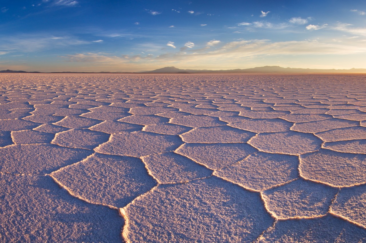
Travel along the Chilean border on the "Jewel Road", where you can discover many other beautiful lagoons and their wild birds (including the three species of pink flamingos). Enjoy the magnificent view from the ever-active volcano of Ollagüe. At almost 6,000 metres, it is also home to one of the highest sulphur mines in the world. Then reach the village of San Juan. Visit its small museum and mummies.
The spectacular Salar d'Uyuni
Steps: Salar De Uyuni
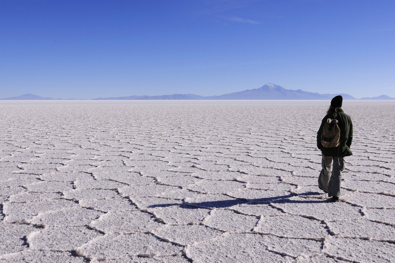
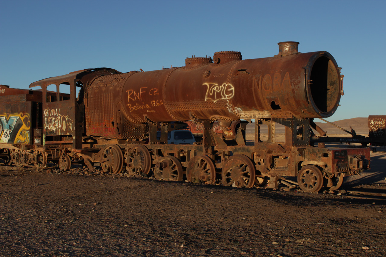
Apotheosis of the trip: the famous Salar of Uyuni, the largest salt desert in the world! Large spaces with salt as far as the eye can see. When it rains, it turns into a large salt lake reflecting the sky (an even more unforgettable sight if you are lucky enough to be there at the right time). Take a long photo break to have fun playing with the perspectives. The island of Incahuasi and its high cacti is also a unique phenomenon. Visit the train cemetery. End of your big loop, arrival at the village (a little ghostly) of Uyuni.
Places of interest : CEMENTERIO DE TRENES
