Route 66, from New Mexico to California
Highlights of the trip
During your stay you can enjoy the following highlights: Culture / Heritage, Faune and flora, Adventure / Sports & Leisure.
Best times to go
The best time(s) to go is/are : Printemps, Eté, Automne.
Petit Futé
Where to stay in : Santa Fe ?
The map of your stay "Route 66, from New Mexico to California"
Detail of the stay : Route 66, from New Mexico to California
How to get there - Santa Fe
Arrival in Albuquerque
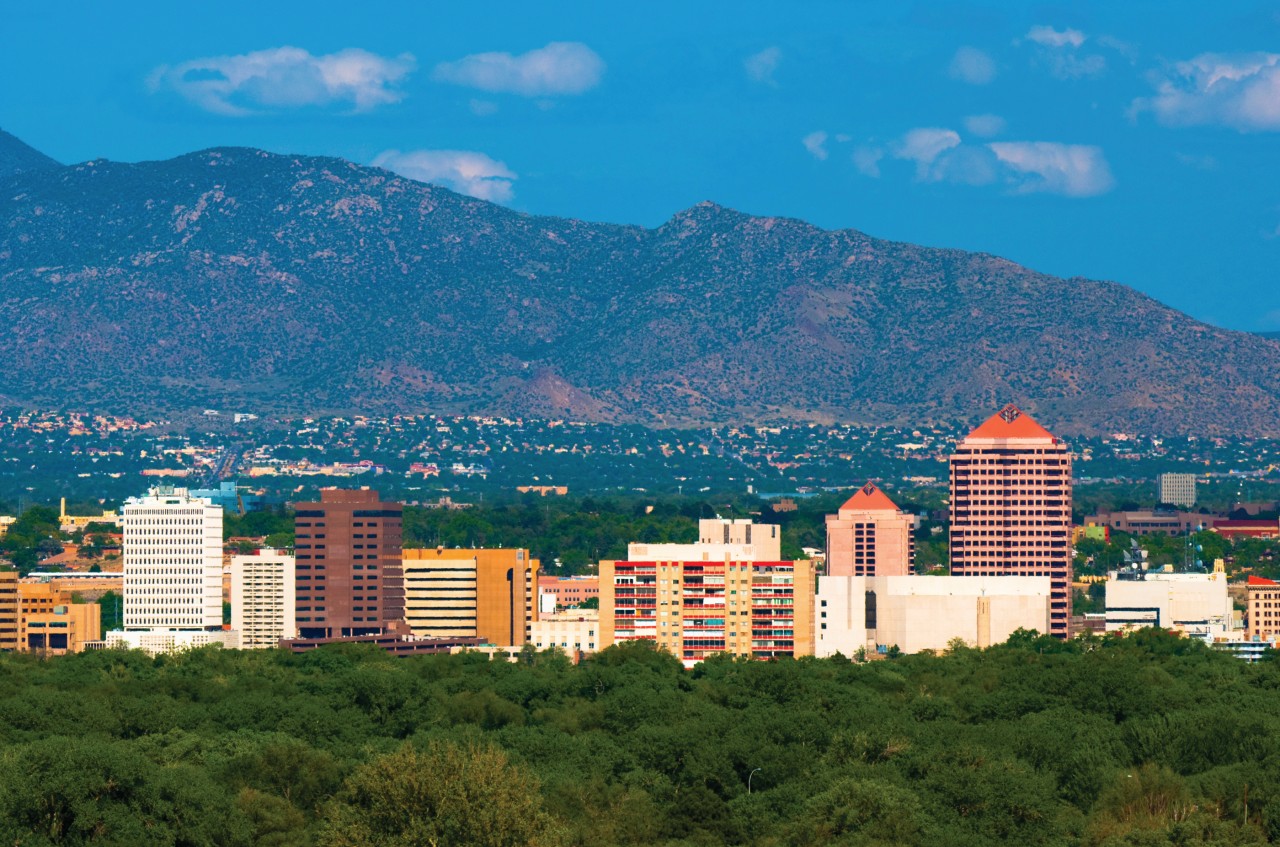
Settling at the hotel. Visit of the old town and the western part of Central Avenue.
Albuquerque-Santa Fe via the Turquoise Trail. 113 km (70 miles)

Steps: Tijeras
Taking over the vehicle. Departure to the east of Albuquerque by Central Avenue (Rorom 1930-40) to Tijeras and the beginning of the Turquoise Trail. When you arrive at Sandia Park, make a detour via Turquoise Trail through the old mining towns of Golden, Madrid and Los Cerillos. Visit of the {centre of Santa Fe, meals and night in town.
Places of interest : SANDIA PEAK TRAMWAY - SANDIA CREST TURQUOISE TRAIL
Santa Fe-Gallup. 325 km (202 miles)
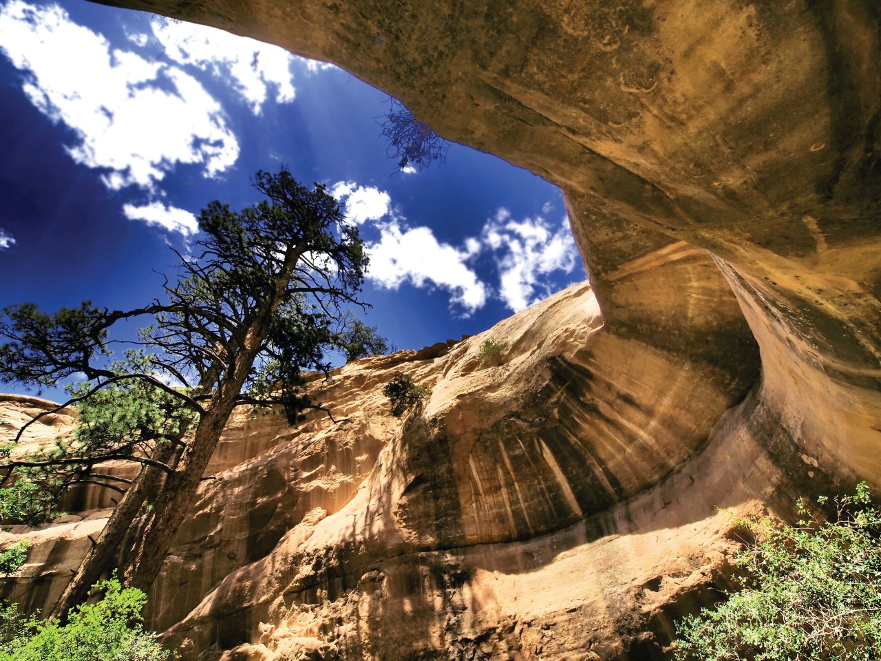
Steps: Church Rock
Go to Albuquerque late in the morning for lunch on Central Avenue. Stop close to 4th Street, an ideal place to admire the Gallup via Laguna, Grants and Church Rock. On the way, you will cross several pueblos and also have the opportunity to take a detour through Gallup.
Places of interest : KIMO THEATRE
Gallup-Flagstaff. 340 km (211 miles)
Steps: Gallup
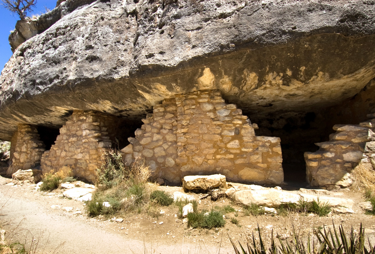
Soon after leaving Gallup, you will reach Lupton and Arizona. Welcome to the Navajo territory! The landscape becomes desert. You should not miss to visit the Painted Desert and the Petrified Forest National Park, which are two sites located in the same national park. Lunch in Holbrook. Take the road by stopping in Winslow and then visit Meteor Crater. Before arriving at Flagstaff, stop at Two Guns and Twin Arrows. Night in Flagstaff.
Flagstaff-Kingman. 163 miles (262 km)

Steps: Grand Canyon Caverns
If you didn't have time to get there the day before, take a short walk through downtown Flagstaff. On the way to Barstow, stop in Williams, Ash Fork and Seligman. If you have time, visit Grand Canyon Caverns. Return to Kingman with a stop at the Hackberry General Store. Overnight in Kingman.
Places of interest : HACKBERRY GENERAL STORE
Kingman-Barstow. 370 km (230 miles)
Steps: Topock
The Powerhouse is the building to see as a priority in Kingman. From the exit of the city, the road will gradually go up to make you discover the Black Mountains. You need a little while to visit Oatman. You will enjoy its wild donkeys in the street and its pistols. Then go to Topock and the California border. Get ready for the heat between Needles and Newberry Springs. In Newberry Springs, take a break at Baghdad Café before going to Barstow. Night in Barstow.
Barstow - Pasadena. 208 km (129 miles)
Steps: Helendale
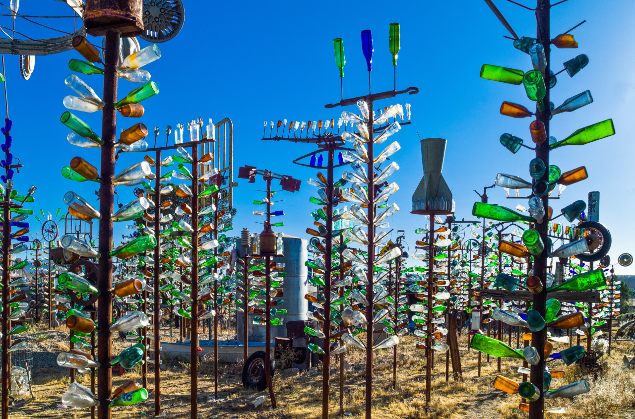
At the start of the journey, stop at the Bottle Tree Ranch. Once you have crossed Victorville, go to the beautiful Cajon Pass then San Bernardino. Go to the Rialto. From San Bernardino, you have approximately miles to reach Pasadena following the guide of Foothill Boulevard. The road traffic is intense with many traffic lights. Certainly, this part of Route 66 is the least interesting of all. One alternative consists in taking the Horn Crest Highway (Highway 2), which bypasses the urban part between San Bernardino and Pasadena. It makes about 10 km more compared to the Route 66 without traffic jams. To take it from Cajon Pass, leave Interstate I-15 at exit 131 (Palendale/Silverwood Lake), turn right onto Highway 138 and then 13,5 km further to the left. 113 km of beautiful mountain roads await you before arriving north of Pasadena. Evening and night in Pasadena.
Places of interest : THE BOTTLE TREE RANCH MCDONALD'S ROUTE 66 MUSEUM
Pasadena-Santa Monica via Hollywood. 43 km (27 miles)
Steps: Los Angeles
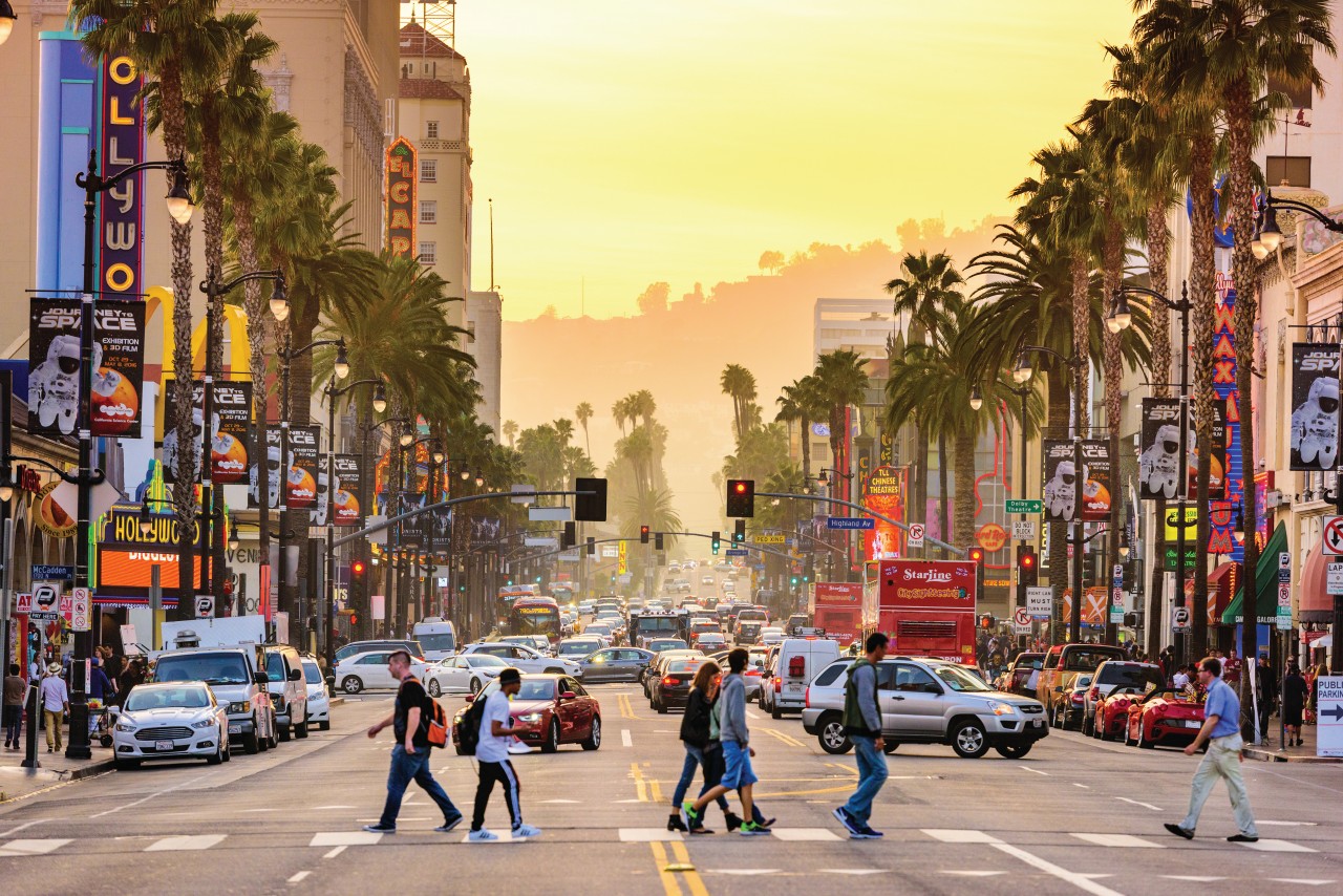
To get to Santa Monica, there are several routes on Route 66 to the north of Downtown Los Angeles. From there, follow Sunset Boulevard and Santa Monica Boulevard, discovering Hollywood and Beverly Hills. Reach Palisades Park and the Santa Monica Pier. You are at the end of the adventure ! Night in Santa Monica.


